Search
You Searched For
Search Results
- Published / Created:
- [1760?]
- Call Number:
- 76 1760
- Container / Volume:
- BRBL_00443
- Image Count:
- 1
- Resource Type:
- Maps, Atlases & Globes
- Found in:
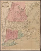
- Beinecke Rare Book and Manuscript Library > A map of the most inhabited part of New England ...
- Published / Created:
- 1771
- Call Number:
- 76 1771
- Container / Volume:
- BRBL_00443
- Image Count:
- 1
- Resource Type:
- Maps, Atlases & Globes
- Found in:
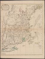
- Beinecke Rare Book and Manuscript Library > A map of the most inhabited part of New England ...
- Published / Created:
- 1771
- Call Number:
- 76 1771
- Container / Volume:
- BRBL_00443
- Image Count:
- 1
- Resource Type:
- Maps, Atlases & Globes
- Found in:
- Beinecke Rare Book and Manuscript Library > A map of the most inhabited part of New England ...
- Creator:
- Jefferys, Thomas, -1771, printmaker.
- Published / Created:
- 1755
- Call Number:
- 783 1755F
- Container / Volume:
- BRBL_00507
- Image Count:
- 1
- Resource Type:
- Maps, Atlases & Globes
- Found in:
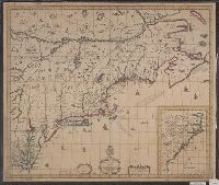
- Beinecke Rare Book and Manuscript Library > A map of the most inhabited part of Virginia containing the whole province of Maryland with part of Pensilvania, New Jersey and North Carolina / drawn by Joshua Fry & Peter Jefferson in 1751.
- Creator:
- Fry, Joshua, approximately 1700-1754
- Published / Created:
- 1794
- Call Number:
- 783 1794
- Container / Volume:
- BRBL_00507
- Image Count:
- 1
- Resource Type:
- Maps, Atlases & Globes
- Found in:
- Beinecke Rare Book and Manuscript Library > A map of the most inhabited part of Virginia containing the whole province of Maryland with part of Pensilvania, New Jersey and North Carolina / drawn by Joshua Fry & Peter Jefferson in 1775.
- Published / Created:
- [1684?]
- Call Number:
- 755 1684A
- Container / Volume:
- BRBL_00424
- Image Count:
- 1
- Resource Type:
- Maps, Atlases & Globes
- Found in:
- Beinecke Rare Book and Manuscript Library > A map of ye English Empire in Y Continent of America, ... W. Binneman, sculpsit.
- Creator:
- Seller, John, fl. 1658-1698
- Published / Created:
- [1675]
- Call Number:
- 76 1675
- Image Count:
- 1
- Resource Type:
- Maps, Atlases & Globes
- Found in:
- Beinecke Rare Book and Manuscript Library > A mapp of New England / by John Seller, hydrographer to the King.
- Creator:
- Thornton, John, fl. 1652-1701
- Published / Created:
- [1673?]
- Call Number:
- 755 1682B
- Container / Volume:
- BRBL_00424
- Image Count:
- 1
- Resource Type:
- Maps, Atlases & Globes
- Found in:
- Beinecke Rare Book and Manuscript Library > A mapp of Virginia, Mary-land, New-Jarsey, New-York, & New England.
- Published / Created:
- 1792
- Call Number:
- 60cea 1792
- Container / Volume:
- BRBL_00329
- Image Count:
- 1
- Resource Type:
- Maps, Atlases & Globes
- Found in:
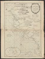
- Beinecke Rare Book and Manuscript Library > A new Survey of the Coast of Africa from Senegal and Cape Verd to Cape St. Ann ...
- Published / Created:
- 1776
- Call Number:
- 778cea 1776
- Container / Volume:
- BRBL_00504A
- Image Count:
- 2
- Resource Type:
- Maps, Atlases & Globes
- Found in:
- Beinecke Rare Book and Manuscript Library > A new and Accurate chart of the Bay of Chesapeake ...