
Search


Limit your search
- Public8,377
- Yale Community Only31
- cartographic✖[remove]8,408
- text5
- still image1
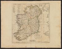
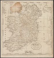
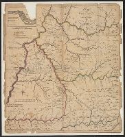
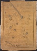
- Maps7,125
- Maps in books455
- Engravings393
- Atlases326
- Cadastral maps267
- Fire insurance maps231
- Connecticut220
- local220
- Hand coloring206
- Road maps151
- English✖[remove]8,408
- French61
- Latin52
- German41
- Spanish; Castilian23
- Portuguese10
- Dutch; Flemish6
- Italian6
- Hebrew4
- Chinese3
- Sanborn Map Company, issuing body259
- Rand McNally and Company230
- United States. Office of Strategic Services. Research and Analysis Branch206
- United States. Army Map Service190
- Great Britain. War Office. General Staff. Geographical Section149
- Sanborn-Perris Map Co., issuing body149
- Geological Survey (U.S.)86
- Sanborn Map & Publishing Co., issuing body77
- United States. General Land Office67
- H.M. Gousha Company66
- Pilot guides --Caribbean Area --Early works to 1800157
- Navigation --Early works to 1800135
- Pilot guides --Atlantic Coast (U.S.) --Early works to 1800133
- Atlases --Early works to 180067
- Railroads--United States--Maps51
- World War, 1914-1918--Maps45
- World War, 1939-1945--Campaigns--Western Front--Historical geography--Maps36
- Railroads--West (U.S.)--Maps30
- Railroads--Canada--Maps26
- Harbors --Atlantic Coast (North America) --Maps --Early works to 180024
- Library of Congress Stamp447
- Nicholson, John, d. ca. 1717, bookseller66
- Bien, Julius, 1826-190956
- United States. Army Map Service54
- Julius Bien & Co43
- Library of Congress. Map Division Stamp37
- United States. Hydrographic Office37
- United States. Bureau of Ordnance and Hydrography36
- Streeter, Thomas W.--(Thomas Winthrop),--1883-1965--Ownership33
- United States. General Land Office33