
Search


Limit your search
- Public230
- cartographic229
- text1
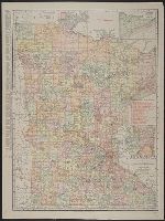
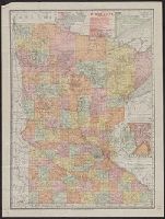
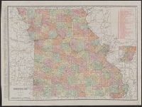
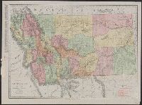
- Maps, Atlases & Globes✖[remove]230
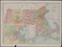
- Rand McNally and Company✖[remove]230
- Richfield Oil Corporation1
- United States. President (1817-1825 : Monroe). Monroe doctrine. Selections1
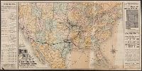
- Texas Company7
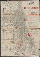
- Illinois. Railroad and Warehouse Commission4
- Randall Motor Club4
- Union Oil Company of California4
- Standard Oil Company (Indiana)3
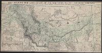
- Atchison, Topeka, and Santa Fe Railroad Company2
- Atchison, Topeka, and Santa Fe Railroad Company--Maps2
- Chicago, Burlington & Quincy Railroad Company--Maps2
- Chicago, Milwaukee, and St. Paul Railway Company--Maps2
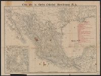
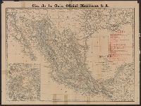
- Cia. de la Guia Oficial Mexicana S.A2