
Search


Limit your search
- Completely digitized✖[remove]90
- Public90
- Maps, Atlases & Globes✖[remove]90
- Berry, William, fl. 1669-1708, creator29
- Sanson, Nicolas, 1600-166725
- Colorado Midland Railway Company9
- Wit, Frederik de., creator8
- Blaeu, Joan, 1596-1673, creator5
- Browne, Christopher, fl. 1684-1712, bookseller4
- Morden, Robert, d. 1703, creator3
- Browne, Christopher, fl. 1684-1712, creator2
- Jaillot, Alexis Hubert, 1632?-17122
- Jaillot, Alexis Hubert, 1632?-1712, creator2
- Mines and mineral resources--Colorado--Maps9
- Railroads--Colorado--Maps9
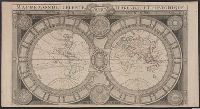
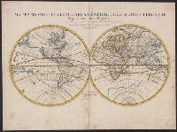
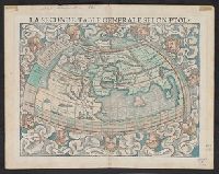
- World maps--Early works to 18006
- Spanish Succession, War of, 1701-1714 --Maps2
- Atlases, German --Early works to 18001
- British--America--Maps--Early works to 18001
- Canals --Pennsylvania --Maps --Early works to 18001
- Chron.--17711
- Chron.--1853-18741
- Coasts --England, Southern --Maps --Early works to 18001
- Colorado Midland Railway Company9
- Bowles, Carington, 1724-1793, bookseller1
- Bowles, Carington, 1724-1793, publisher1
- Bowles, John, 1701-1779, bookseller1
- California and Oregon Railroad Company --Maps1
- Colby, Thomas, 1784-1852, publisher1
- Foster, George, fl. 1737-1739, bookseller1
- Jaillot, Bernard1
- Lhuilier, Jean1
- Mifflin, Thomas, 1744-18001