
Search


Limit your search
- cartographic✖[remove]270
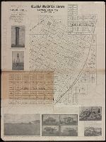
- Cadastral maps✖[remove]270
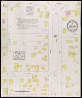
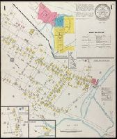
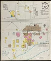
- Fire insurance maps229
- Atlases222
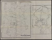
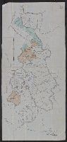
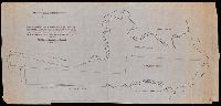
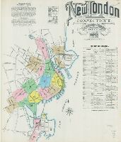
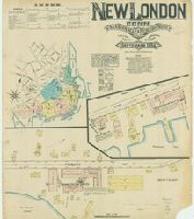
- Connecticut220
- local220
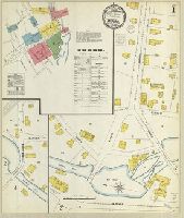
- Bristol8
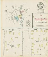
- Killingly (Town)8
- Manuscript maps8
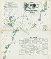
- Milford8
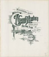
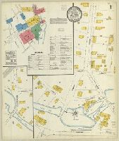
- New Haven8
- Fire risk assessment--Connecticut--Berlin--Maps11
- Fire risk assessment--Connecticut--Bristol--Maps8
- Fire risk assessment--Connecticut--Killingly (Town)--Maps8
- Fire risk assessment--Connecticut--Milford--Maps8
- Fire risk assessment--Connecticut--New Haven--Maps8
- Real property--Connecticut--Bristol--Maps8
- Real property--Connecticut--Killingly (Town)--Maps8
- Real property--Connecticut--Milford--Maps8
- Real property--Connecticut--New Haven--Maps8
- Fire risk assessment--Connecticut--Branford--Maps7
- Library of Congress Stamp189
- Library of Congress. Map Division Stamp21
- Library of Congress Ownership16
- Rickard, Richard H.,---1885--Ownership.10
- Davison, Lewis.3
- Davison, Tredwell.3
- St. Mary's Canal Mineral Land Company--Maps.3
- Copp Clark Company2
- Greenwich Insurance Company Stamp2
- Continental Insurance Company Ownership1