
Search


Limit your search
- Public23
- cartographic✖[remove]23
- Nautical charts--California--San Francisco Bay4
- Harbors--California--Monterey--Maps2
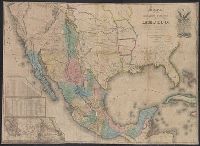
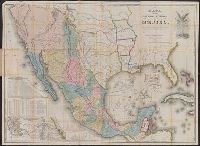
- Mexican War, 1846-1848--Maps2
- Naut2
- Nautical charts--California2
- Nautical charts--California--Monterey Bay2
- Nautical charts--California--San Francisco Bay Area2
- Nautical charts--California--San Pablo Bay2
- Nautical charts--Central America2
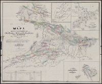
- Railroads--Mexico--Maps2
- Graham, C. B. (Curtis B.)4
- Stuart, Fred D4
- Beechey, Frederick William, 1796-1856. Harbour of San Francisco2
- Blunt, Simon F2
- Blunt, Simon Fraser, d. 18542
- Campbell, Albert H. (Albert Henry), 1826-18992
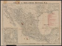
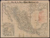
- Cia. de la Guia Oficial Mexicana S.A2
- A. Hoen & Co1
- American Geographical and Statistical Society Stamp1
- Andrew B. Graham Co1
Current results range from 1598 to 1935