Search
You Searched For
Search Results
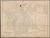
- Creator:
- Fleming, Brewster & Alley
- Published / Created:
- 1888
- Call Number:
- 847gme 1888A
- Container / Volume:
- BRBL_00629
- Image Count:
- 1
- Resource Type:
- Maps, Atlases & Globes
- Found in:
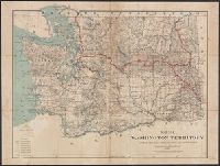
- Beinecke Rare Book and Manuscript Library > Washington Territory : showing lines of the Seattle, Lake Shore and Eastern railway / compiled from the official records of the General land office and other sources.
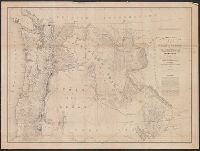
- Creator:
- United States. General Land Office
- Published / Created:
- 1876
- Call Number:
- 847 1876
- Container / Volume:
- BRBL_00625
- Image Count:
- 1
- Resource Type:
- Maps, Atlases & Globes
- Found in:
- Beinecke Rare Book and Manuscript Library > Territory of Washington.
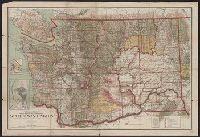
- Creator:
- United States. General Land Office
- Published / Created:
- 1905
- Call Number:
- 847 1905
- Container / Volume:
- BRBL_00625
- Image Count:
- 1
- Resource Type:
- Maps, Atlases & Globes
- Found in:
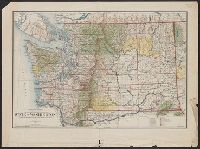
- Beinecke Rare Book and Manuscript Library > State of Washington / compiled from the official records of the General Land Office and other sources, under the direction of Frank Bond, chief of drafting division, G.L.O. ; compiled and drawn by Daniel O'Hare ; lettering by Wm. Bauman jr.
- Creator:
- United States. Surveyor General
- Published / Created:
- 1860
- Call Number:
- 847 1861
- Container / Volume:
- BRBL_00625
- Image Count:
- 1
- Resource Type:
- Maps, Atlases & Globes
- Found in:
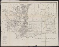
- Beinecke Rare Book and Manuscript Library > Map of a part of Washington Territory : to accompany the report of the Surveyor General, 1860-61.
- Creator:
- Poole Brothers
- Published / Created:
- c1898.
- Call Number:
- 846gme 1898
- Container / Volume:
- BRBL_00624
- Image Count:
- 1
- Resource Type:
- Maps, Atlases & Globes
- Found in:
- Beinecke Rare Book and Manuscript Library > Map of the Oregon Railroad and Navigation Co.
- Creator:
- United States. Surveyor General
- Published / Created:
- 1855
- Call Number:
- 847 1855A
- Container / Volume:
- BRBL_00625
- Image Count:
- 1
- Resource Type:
- Maps, Atlases & Globes
- Found in:
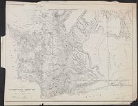
- Beinecke Rare Book and Manuscript Library > Map of a part of the territory of Washington : to accompany report of Surveyor General, 1855.
- Creator:
- Eastwick, Morris & Co
- Published / Created:
- 1878
- Call Number:
- 847 1878
- Container / Volume:
- BRBL_00625
- Image Count:
- 1
- Resource Type:
- Maps, Atlases & Globes
- Found in:
- Beinecke Rare Book and Manuscript Library > Map of south eastern Washington Territory / compiled from official surveys and published by Eastwick, Morris & Co. ; drawn by John Hanson.
- Creator:
- Washington (State). Surveyor General's Office
- Published / Created:
- 1859
- Call Number:
- 847 1859A
- Container / Volume:
- BRBL_00625
- Image Count:
- 1
- Resource Type:
- Maps, Atlases & Globes
- Found in:
- Beinecke Rare Book and Manuscript Library > Map of a part of Washington Territory : to accompany the report of the Surveyor General.
- Creator:
- United States. General Land Office
- Published / Created:
- 1909
- Call Number:
- 847 1909
- Container / Volume:
- BRBL_00625
- Image Count:
- 1
- Resource Type:
- Maps, Atlases & Globes
- Found in:
- Beinecke Rare Book and Manuscript Library > State of Washington / compiled from the official records of the General Land Office and other sources under the direction of I. P. Berthrong, chief of Drafting Division, G.L.O. ; compiled and drawn by Daniel O'Hare ; lettering by Wm Bauman, jr.
- Creator:
- United States. Army. Corps of Topographical Engineers
- Published / Created:
- 1859
- Call Number:
- 846 1859
- Container / Volume:
- BRBL_00620
- Image Count:
- 1
- Resource Type:
- Maps, Atlases & Globes
- Found in:
- Beinecke Rare Book and Manuscript Library > Map of the state of Oregon and Washington Territory / compiled in the Bureau of Topogrl. Engrs. chiefly for military purposes, by order of John B. Floyd ; engraved by W.H. Dougal.