Search
You Searched For
Search Results
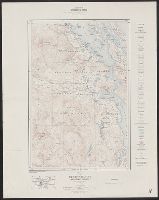
- Creator:
- Geological Survey of Canada
- Published / Created:
- 1915
- Call Number:
- 739 1915
- Container / Volume:
- BRBL_00388
- Image Count:
- 1
- Resource Type:
- Maps, Atlases & Globes
- Found in:
- Beinecke Rare Book and Manuscript Library > Duncan sheet, Vancouver Island, British Columbia / C.O. Senécal, geographer and chief draughtsman ; G.G. Aitken, draughtsman.
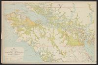
- Creator:
- British Columbia. Dept. of Lands
- Published / Created:
- 1929
- Call Number:
- 7391 1929
- Container / Volume:
- BRBL_00394
- Image Count:
- 1
- Resource Type:
- Maps, Atlases & Globes
- Found in:
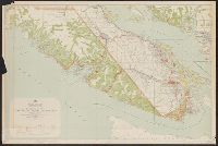
- Beinecke Rare Book and Manuscript Library > Northerly portion, Vancouver Island / G.G. Aitken, chief geographer.
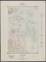
- Creator:
- Geological Survey of Canada
- Published / Created:
- 1911
- Call Number:
- 739 1911
- Container / Volume:
- BRBL_00388
- Image Count:
- 1
- Resource Type:
- Maps, Atlases & Globes
- Found in:
- Beinecke Rare Book and Manuscript Library > Saanich sheet, Vancouver Island, British Columbia / C.O. Senécal, geographer and chief draughtsman ; G.G. Aitken, draughtsman.
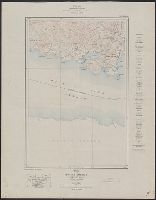
- Creator:
- Geological Survey of Canada
- Published / Created:
- 1914
- Call Number:
- 739 1915A
- Container / Volume:
- BRBL_00388
- Image Count:
- 1
- Resource Type:
- Maps, Atlases & Globes
- Found in:
- Beinecke Rare Book and Manuscript Library > Sooke sheet, Vancouver Island, British Columbia / C.O. Senécal, geographer and chief draughtsman ; G.G. Aitken, draughtsman.
- Creator:
- British Columbia. Dept. of Lands
- Published / Created:
- 1913
- Call Number:
- 7391 1913
- Container / Volume:
- BRBL_00394
- Image Count:
- 1
- Resource Type:
- Maps, Atlases & Globes
- Found in:
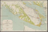
- Beinecke Rare Book and Manuscript Library > Southerly portion Vancouver Island / British Columbia, Department of Lands.
- Creator:
- British Columbia. Dept. of Lands
- Published / Created:
- 1920
- Call Number:
- 7391 1920
- Container / Volume:
- BRBL_00394
- Image Count:
- 1
- Resource Type:
- Maps, Atlases & Globes
- Found in:
- Beinecke Rare Book and Manuscript Library > Southerly portion Vancouver Island / British Columbia, Department of Lands.
- Creator:
- United States. Army Map Service
- Published / Created:
- 1943
- Call Number:
- 7391 1943
- Container / Volume:
- BRBL_00394
- Image Count:
- 2
- Resource Type:
- Maps, Atlases & Globes
- Found in:
- Beinecke Rare Book and Manuscript Library > Vancouver Island / Army Map Service.
- Creator:
- Great Britain. Hydrographic Office
- Published / Created:
- [1871]
- Call Number:
- 7391 1871
- Container / Volume:
- BRBL_00394
- Image Count:
- 1
- Resource Type:
- Maps, Atlases & Globes
- Found in:
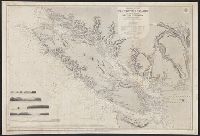
- Beinecke Rare Book and Manuscript Library > Vancouver Island and adjacent shores of British Columbia / surveyed by G.H. Richards, assisted by R.C. Mayne ... [et al.], 1859-65 ; compiled and drawn for engraving by E.J. Powell ; engraved by Davies & Powell.
- Creator:
- United States. Army Map Service
- Published / Created:
- [1947]
- Call Number:
- 7391 1947
- Container / Volume:
- BRBL_00394
- Image Count:
- 2
- Resource Type:
- Maps, Atlases & Globes
- Found in:
- Beinecke Rare Book and Manuscript Library > Vancouver Island.
- Published / Created:
- [1843?]
- Call Number:
- 7391 1843
- Container / Volume:
- BRBL_00394
- Image Count:
- 1
- Resource Type:
- Maps, Atlases & Globes
- Found in:
- Beinecke Rare Book and Manuscript Library > Vancouver's Island.