
Search


Limit your search
- Public176
- cartographic176
- L'Isle, Guillaume de, 1675-172614
- Langren, Arnold Florent van, 1580-16447
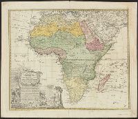
- Hase, Johann Matthias, 1684-17426
- Linschoten, Jan Huygen van, 1563-16115
- Ogilby, John, 1600-16765
- Sanson, Nicolas, 1600-16675
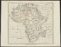
- Anville, Jean Baptiste Bourguignon d', 1697-17824
- Blaeu, Joan, 1596-16734
- Blaeu, Joan, 1596-1673, creator4
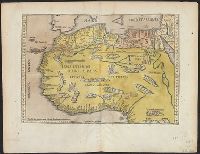
- Fries, Lorenz, ca. 1490-15314
- Navigation --Early works to 180013
- Pilot guides --Atlantic Coast (U.S.) --Early works to 180013
- Pilot guides --Caribbean Area --Early works to 180013
- Voyages and travels --Early works to 180011
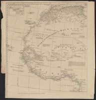
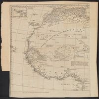
- Coasts--Africa, West--Maps--Early works to 18007
- Atlases --Early works to 18005
- Coasts--Africa, Eastern--Maps--Early works to 18003
- Coasts--Africa, Southern--Maps--Early works to 18003
- Atlases, German --Early works to 18002
- Coasts--South Africa--Maps--Early works to 1800.2
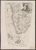
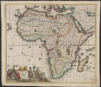
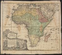
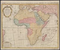
- Ogilby, John, 1600-1676. Africa, being an accurate description of the regions of Egypt, Barbary, Lybia and Billedulgerid6
- Nicholson, John, d. ca. 1717, bookseller5
- Claesz, Cornelis, ca. 1546-1609, publisher4
- Elzevier, Gillis, bookseller4
- Hendricksz, Aelbrecht, fl. 1573-1605, printer4
- Langren, Arnold Florent van, 1580-16444
- Linschoten, Jan Huygen van, 1563-1611. Itinerario, voyage ofte schipvaert van Jan Huygen van Linschoten naer Oost ofte Portugaels Indien4
- Wolfe, John, d. 1601, printer4
- Anville, Jean Baptiste Bourguignon d', 1697-17823
- Churchill, Awnsham, -1728. Collection of voyages and travels. Danish.3