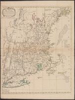
2nd state. Distinguishing feature of 2nd state: "Title changed slightly to read 'An accurate map of the British Colonies...'" (McCorkle 111)., 755 1756F: Verso: Stamped "Oct 23 1959"., Printed text in left and right margins., and Published separately as broadsid
Publisher:
printed for and sold by H. Overton,
Subject (Geographic):
North America--Maps--Early works to 1800 and United States--History--French and Indian War, 1755-1763--Maps--Early works to 1800
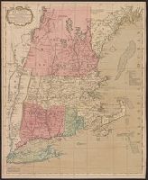
"Separate publication ca. 1676" (McCorkle 38)., Includes hand colored illustration of American Indians., Relief shown pictorially., and Verso: Partially stamped "Yale University".
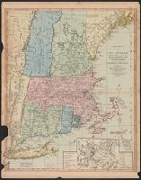
Publisher:
Sould by Robert Morden ... and by William Berry ... ,
Subject (Geographic):
NewEngland--Maps--Early works to 1800
Subject (Name):
Berry, William, fl. 1669-1708 and King, Gregory, 1648-1712, engraver
"The seat of the war in the middle British colonies, containing Virginia, Maryland, the Delaware counties, &ca.", From the author's The American military pocket atlas. [1776], Hand colored., Inset: A sketch of the upper parts of Canada., and Relief shown pictoria
Publisher:
Printed for R. Sayer & J. Bennett, map, chart & printsellers,