
Search


Limit your search
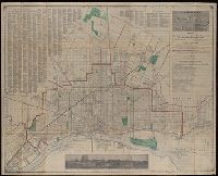
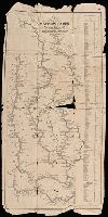
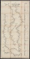
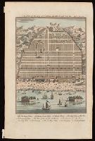
- Public90
- Beinecke Rare Book and Manuscript Library✖[remove]90
- cartographic✖[remove]90
- Senex, John, -1740, cartographer.7
- Vancouver, George, 1757-17984
- Matthews-Northrup Company3
- Pownall, Thomas, 1722-18053
- Payne, John, active 1800, cartographer.2
- Price & Lee Co., cartographer.2
- Rocque, John, -1762.2
- Scull, William, active 1765, cartographer.2
- Silas Farmer & Co.2
- Stokes, John Lort, 1811-1885, cartographer.2
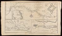
- British--America--Maps--Early works to 1800.3
- Coasts--Northwest Coast of North America--Pictorial works--Early works to 1800.2
- Administrative and political divisions1
- Administrative and political divisions--Maps1
- Albert River (Qld.)--Maps.1
- Albert River (Qld.)--Navigation--Maps.1
- Bull Run, 1st Battle of, Va., 1861--Maps1
- City planning--England--London--Maps--Early works to 1800.1
- Coasts--Alaska--Pictorial works--Early works to 1800.1
- Coasts--California--Pictorial works--Early works to 1800.1
- Yale, Elihu, 1649-1721, dedicatee.7
- Alexander, William (1767-1816)4
- Edwards, James, 1756-18164
- Brown, Horace--Stamp.3
- Child, G., engraver.3
- Edwards, Richard3
- Foster & Reynolds (Washington, D.C.)3
- Laurie & Whittle3
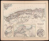
- A. Fullarton & Co. Royal illustrated atlas of modern geography.2
- Anville, Jean Baptiste Bourguignon d', 1697-1782.2