
Search

Limit your search
- cartographic✖[remove]7
- Dutch; Flemish✖[remove]7
- Coasts--Norway--Maps--Early works to 1800.2
- Coasts--Suriname--Maps--Early works to 1800.1
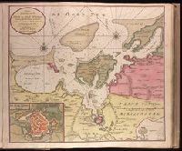
- Nautical charts--Bothnia, Gulf of--Early works to 1800.1
- Nautical charts--Germany--Wismar Bay--Early works to 1800.1
- Nautical charts--Netherlands--West Frisian Islands--Early works to 1800.1
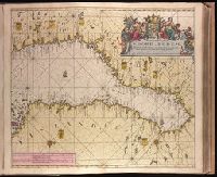
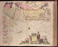
- Nautical charts--North Sea--Early works to 1800.1
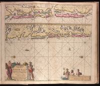
- Nautical charts--Norway--Trondheim Fjord--Early works to 1800.1
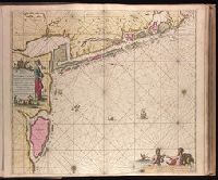
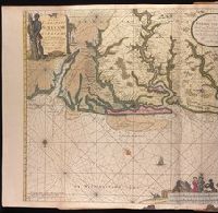
- Nautical charts--Suriname--Early works to 1800.1
- Rivers--Suriname--Maps--Early works to 1800.1
- Keulen, Gerard van. Nieuwe groote lichtende zee-fakkel.✖[remove]7
- Keulen, Gerard van. Groote nieuwe vermeerderde zee-atlas ofte water-waereld.1
- Vooght, Claes Janszoon, -1696.1
Current results range from 1702 to 1734