
Search


Limit your search
- Public✖[remove]207
- Maps✖[remove]207
- Prints (Visual works)✖[remove]207
- Engravings174
- Maps in books127
- Illustrations65
- Woodcuts27
- Bird's-eye views10
- Hand coloring10
- Atlases5
- Architectural drawings4
- Exposition universelle internationale de 1900 (Paris, France)4
- P.S. Duval & Son2
- Smith, John, 1580-16312
- Aztecs--History--Pictorial works1
- Clarke, Robert, fl. 16161
- Corte?s, Herna?n, 1485-15471
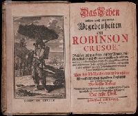
- Crusoe, Robinson (Fictitious character)1
- Hodgson, Ralph,--1871-1962--Autograph1
- Legge, William, 1609?-16701
- Montezuma II, Emperor of Mexico, ca. 1480-15201