
Search


Limit your search
- Public8,002
- Yale Community Only29
- Maps, Atlases & Globes✖[remove]8,031
- English✖[remove]8,031
- French56
- German39
- Latin35
- Spanish; Castilian22
- Italian6
- Dutch; Flemish4
- Hebrew4
- Chinese3
- Hungarian3
- Sanborn Map Company, issuing body258
- Rand McNally and Company229
- United States. Office of Strategic Services. Research and Analysis Branch206
- United States. Army Map Service190
- Great Britain. War Office. General Staff. Geographical Section149
- Sanborn-Perris Map Co., issuing body147
- Geological Survey (U.S.)86
- Sanborn Map & Publishing Co., issuing body76
- United States. General Land Office67
- H.M. Gousha Company66
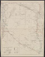
- Railroads--United States--Maps51
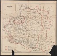
- World War, 1914-1918--Maps45
- World War, 1939-1945--Campaigns--Western Front--Historical geography--Maps36
- Railroads--West (U.S.)--Maps30
- Navigation --Early works to 180028
- Pilot guides --Atlantic Coast (U.S.) --Early works to 180028
- Pilot guides --Caribbean Area --Early works to 180028
- Railroads--Canada--Maps26
- Streets--California--Los Angeles--Maps23
- Railroads--Texas--Maps22
- Library of Congress Stamp447
- Bien, Julius, 1826-190956
- United States. Army Map Service54
- Julius Bien & Co43
- Library of Congress. Map Division Stamp37
- United States. Hydrographic Office37
- United States. Bureau of Ordnance and Hydrography36
- Streeter, Thomas W.--(Thomas Winthrop),--1883-1965--Ownership33
- United States. General Land Office33
- United States. Office of Strategic Services. Reproduction Branch33