
Search


Limit your search
- Public67
- Maps67
- Maps, Atlases & Globes✖[remove]67
- English67
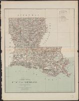
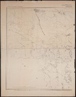
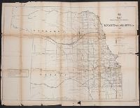
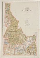
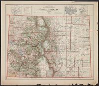
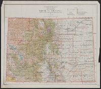
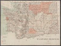
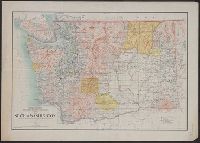
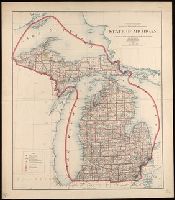
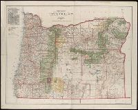
- United States. General Land Office✖[remove]67
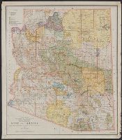
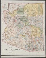
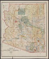
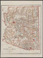
- Forest reserves--Arizona--Maps4
- Indian reservations--Arizona--Maps4
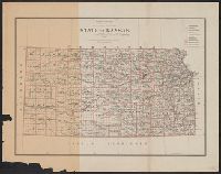
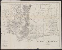
- Public lands--Kansas--Maps3
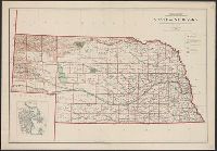
- Public lands--Nebraska--Maps3
- Mines and mineral resources--United States--Maps2
- Canals--United States--Maps1
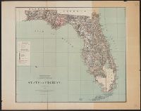
- Counties--Florida--Maps1
- Forest reserves--Colorado--Maps1
- Indian reservations--United States--Maps1
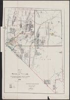
- Land grants--California--Maps1