
Search


Limit your search
- Public171
- cartographic171
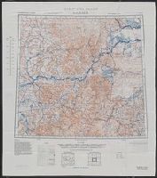
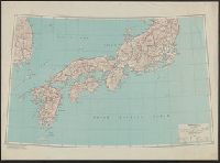
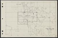
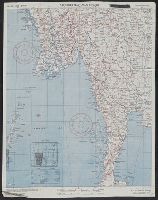
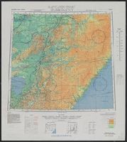
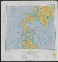
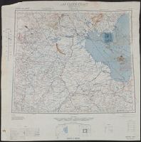
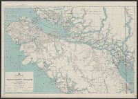
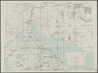
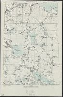
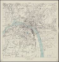
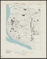
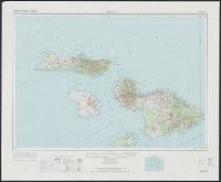
- Maps✖[remove]171
- Cloth maps2
- Military maps1
- United States. Army Map Service✖[remove]171
- Great Britain. War Office. General Staff. Geographical Section9
- Manila Fire Insurance Association8
- U.S. Coast and Geodetic Survey3
- U.S. Lake Survey2
- United States. Aeronautical Chart Service2
- Geological Survey (U.S.)1
- Great Britain. War Office1
- United States. Army. Infantry Regiment, 17th1
- United States. Army. Philippine Scouts1
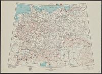
- Railroads--Soviet Union--Maps6
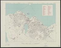
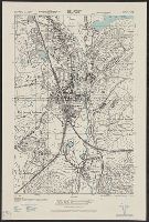
- Cities and towns--Korea (North)--Maps3
- Aeronautical charts--Japan2
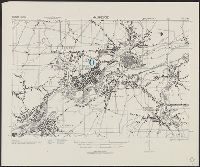
- Cities and towns--Korea (South)--Maps2
- Transportation--Cyprus--Maps2
- Transportation--Finland--Maps2
- Transportation--Greece--Kyklades--Maps2
- Transportation--Sweden--Maps2
- Aeronautical charts--China1
- Transportation--Azores--Maps1
Current results range from 1941 to 1974