
Search
Limit your search
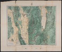
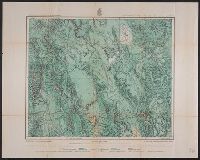
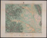
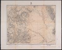
- Geographical Surveys West of the 100th Meridian (U.S.)✖[remove]9
- Wheeler, George M. (George Montague), 1842-19059
- United States. Army. Corps of Engineers. Topographical atlas projected to illustrate explorations and surveys west of the 100th meridian of longitude2
- United States. Army. Corps of Engineers1
- Weyss, Lang & Herman, Del1
- Wright, Horatio Gouverneur, 1820-18991
- [Washington, D.C.] :✖[remove]9
Current results range from 1876 to 1879