
Search


Limit your search
- Public✖[remove]89
- Maps, Atlases & Globes✖[remove]89
- Geological and Geographical Survey of the Territories (U.S.)8
- Bartholomew, J. G. (John George), 1860-19206
- United States. Office of Strategic Services. Research and Analysis Branch5
- United States. Office of Strategic Services. Geography Division4
- Geological Survey (U.S.)3
- Maury, Matthew Fontaine, 1806-18733
- Warren, Gouverneur Kemble, 1830-18823
- Davis, Charles Henry, 1807-18772
- Hood, Washington2
- U.S. Lake Survey2
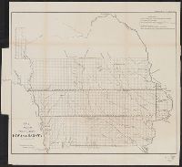
- Geology--Wyoming--Maps4
- Geology--Idaho--Maps3
- Canals, Interoceanic--Planning--Maps2
- Canals--Central America--Planning--Maps2
- Canals--Mexico--Tehuantepec, Isthmus of--Planning--Maps2
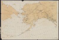
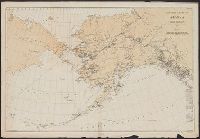
- Caribou--Alaska--Maps2
- Geology--Utah--Maps2
- Indians of North America--Great Plains--Maps2
- Indians of North America--Maps2
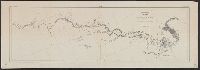
- Nautical charts--Atlantic Ocean2
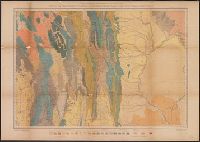
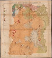
- Hayden, F. V. (Ferdinand Vandeveer), 1829-18878
- National Geographic Society (U.S.)5
- Edinburgh Geographical Institute4
- Gannett, Henry, 1846-19144
- Grosvenor, Gilbert Hovey, 1875-19664
- John Bartholomew & Co3
- United States Naval Observatory3
- United States. Army. Corps of Topographical Engineers3
- United States. Bureau of Ordnance and Hydrography3
- Ackerman Lithr2
- [Washington, D.C. :✖[remove]89
- New York, N.Y.] :4
- New York :2
- Edinburgh :1
- N.Y. :1
Current results range from 1834 to 1999