
Search


Limit your search
- Public89
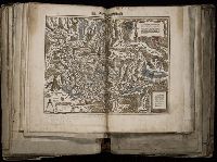
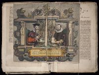
- Blaeu, Joan, 1596-1673. Theatrum orbis terrarum2
- Blaeu, Willem Janszoon, 1571-16382
- Blaeu, Willem Janszoon, 1571-1638. Theatrum orbis terrarum2
- Homann Erben (Firm)2
- Sanson, Nicolas, 1600-16672
- Visscher, Nicolaes, 1618-16792
- Berry, W1
- Broeck, Crispin van den, 1524-ca. 15911
- Guessefeld, F. L. (Franz Ludwig), 1744-18071
- Hase, Johann Matthias, 1684-17421
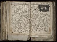
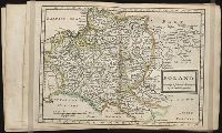
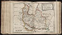
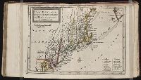
- Atlases --Early works to 1800✖[remove]89
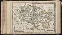
- Atlases, French.2
- Atlases, Dutch1
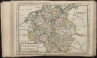
- Atlases, German1
- Geography --Early works to 18001
- World maps --Early works to 18001
- Nicholson, John, d. ca. 1717, bookseller66
- Barker, B. (Benjamin), d. 1764, bookseller24
- Clements, Henry, d. 1719, bookseller24
- King, Charles, d. 1735, bookseller24
- Parker, Richard, fl. 1692-1725, bookseller24
- Tooke, Benjamin, d. 1716, bookseller24
- Nicholas, Edward, d. 1726 --Bookplate and Autograph2
- Robert de Vaugondy, Didier, 1723-17862
- Bible --Geography --Maps --Early works to 18001
- Blaeu, Joan, 1596-16731