
Search


Limit your search
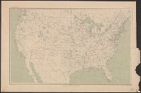
- Public86
- cartographic✖[remove]86
- English86
- Geological Survey (U.S.)✖[remove]86
- United States. Army Map Service1
- Forests and forestry--Oregon--Coos County--Maps2
- Forests and forestry--Washington (State)--Chelan County--Maps2
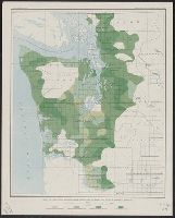
- Forests and forestry--Washington (State)--King County--Maps2
- Forests and forestry--Washington (State)--Kittitas County--Maps2
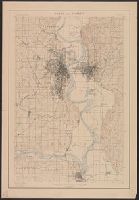
- Forests and forestry--Wyoming--Big Horn County--Maps2
- Forests and forestry--Wyoming--Sheridan County--Maps2
- Land capability for agriculture--Oregon--Coos County--Maps2
- Land capability for agriculture--Wyoming--Big Horn County--Maps2
- Land use--Washington (State)--King County--Maps2
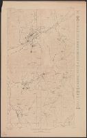
- Mines and mineral resources--Colorado--Leadville--Maps.2
- Gannett, Henry, 1846-191414
- Geological Survey (U.S.). Annual report12
- Brooks, Alfred H. (Alfred Hulse), 1871-192410
- Marshall, R. B. (Robert Bradford), 1867-19496
- Douglas, Edward Morehouse, 1855-19324
- Plummer, Fred G. (Fred Gordon), 1864-19134
- Tweedy, Frank, 1854-19374
- U.S. Coast and Geodetic Survey4
- Witherspoon, D. C4
- Barnard, E. C. (Edward Chester), 1863-19213
Current results range from 1880 to 1974