
Search


Limit your search
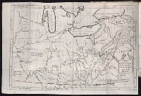
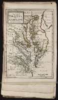
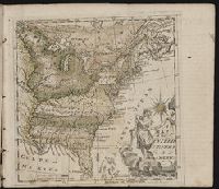
- Atlases --Early works to 180065
- Mines and mineral resources--Colorado--Maps9
- Railroads--Colorado--Maps9
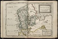
- Atlases, German --Early works to 18001
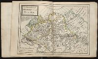
- Geography1
- Gold mines and mining--California, Northern--Maps1
- Gold mines and mining--California--Klamath River1
- Gold mines and mining--California--Siskiyou County1
- Indians of North America1
- Letter carriers--West (U.S.)1
- Nicholson, John, d. ca. 1717, bookseller64
- Barker, B. (Benjamin), d. 1764, bookseller23
- Clements, Henry, d. 1719, bookseller23
- King, Charles, d. 1735, bookseller23
- Parker, Richard, fl. 1692-1725, bookseller23
- Tooke, Benjamin, d. 1716, bookseller23
- Colorado Midland Railway Company9
- California and Oregon Railroad Company --Maps1
- Dinwiddie, Robert, 1693-17701
- Doolittle, Amos, 1754-18321