
Search


Limit your search
- Completely digitized✖[remove]391
- Public391
- cartographic391
- United States. Office of Strategic Services. Research and Analysis Branch111
- Geological Survey (U.S.)56
- United States. Department of State. Division of Map Intelligence and Cartography33
- United States. General Land Office30
- Maury, Matthew Fontaine, 1806-187312
- United States Coast Survey11
- Geographical Surveys West of the 100th Meridian (U.S.)9
- United States. Department of State. Interim Research and Intelligence Service. Research and Analysis Branch9
- United States. Office of Strategic Services8
- Berthrong, I. P5
- World War, 1939-1945--Campaigns--Western Front--Historical geography--Maps36
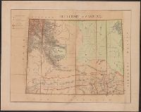
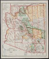
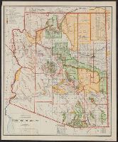
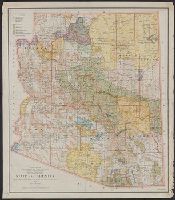
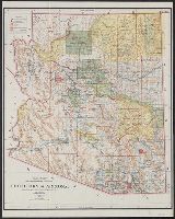
- Forest reserves--Arizona--Maps9
- Indian reservations--Arizona--Maps9
- Railroads--Germany--Maps8
- Railroads--Europe, Central--Maps5
- Nautical charts--South Atlantic Ocean4
- Explorers--United States--Maps3
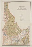
- Land use--Idaho--Maps3
- Military bases--United States--Maps3
- Military occupation--Germany, Southern--Maps3
- United States. General Land Office20
- Bien, Julius, 1826-190914
- Roeser, C. (Charles)13
- Geological Survey (U.S.). Annual report12
- United States. Hydrographic Office12
- Gannett, Henry, 1846-191411
- United States. Bureau of Ordnance and Hydrography11
- United States. Office of Strategic Services. Reproduction Branch11
- Geological Survey (U.S.)10
- Norris Peters Co9
- [Washington, D.C.] :✖[remove]391
- N.Y. :1
- N[ew] Y[ork] :1