
Search


Limit your search
- United States. Army Map Service190
- Great Britain. War Office. General Staff. Geographical Section39
- Rand McNally and Company19
- Geological Survey (U.S.)10
- Manila Fire Insurance Association8
- U.S. Coast and Geodetic Survey7
- H.M. Gousha Company6
- United States. Army. Corps of Engineers6
- Young, J. H. (James Hamilton)6
- National Railway Publication Company4
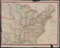
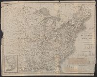
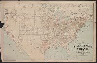
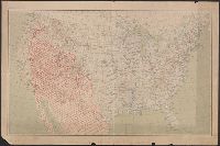
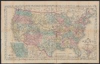
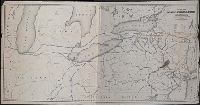
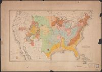
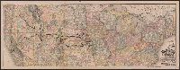
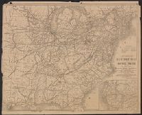
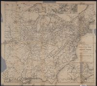
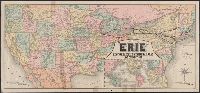
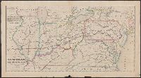
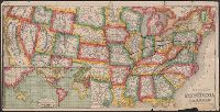
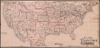
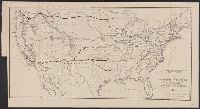
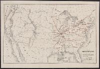
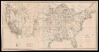
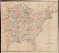
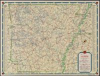
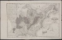
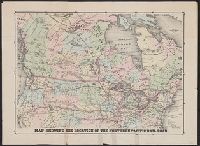
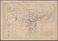
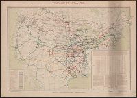
- Railroads--United States--Maps52
- Railroads--Canada--Maps13
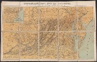
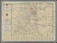
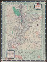
- Roads--United States--Maps13
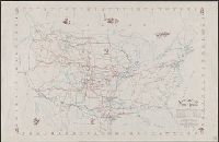
- Military maps12
- Express highways--United States--Maps6
- Railroads--Soviet Union--Maps6
- Aeronautical charts--East China Sea5
- Aeronautical charts--Japan, Sea of5
- Aeronautical charts--South China Sea5
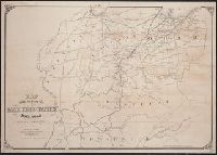
- Military bases--United States--Maps5
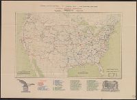
- United States. Army Map Service54
- United States. Army Air Forces18
- United States. Aeronautical Chart Service17
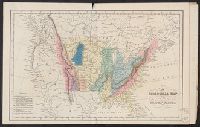
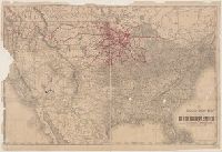
- Northern Pacific Railroad Company--Maps8
- Great Britain. War Office. General Staff. Geographical Section7
- Streeter, Thomas W.--(Thomas Winthrop),--1883-1965--Ownership7
- Geological Survey (U.S.)6
- Disturnell, John, 1801-18775
- United States. General Land Office5
- Bien, Julius, 1826-19094