


- None1
Search
Limit your search
- Completely digitized✖[remove]257
- Clergy--New England.17
- Congregational churches--New England--Clergy.17
- Theology, Doctrinal--United States--History--18th century.17
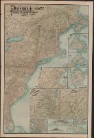
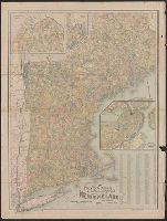
- Railroads--New England--Maps14
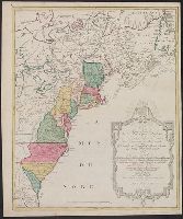
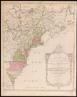
- British--America--Maps--Early works to 18006
- British--America--Maps--Early works to 1800.5
- Railroads--New York (State)--Maps5
- French--America--Maps--Early works to 18004
- British--North America--Maps--Early works to 18002
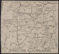
- Indians of North America--Maps--Early works to 18002
- Edwards family17
- Ryland, John.17
- Chatelain, Henri Abraham. Atlas historique6
- Anville, Jean Baptiste Bourguignon d', 1697-17825
- Homann Erben (Firm). Atlas geographicus maior5
- Robert Laurie and James Whittle5
- Robert Laurie and James Whittle. New and elegant imperial sheet atlas5
- Colton, J. H. (Joseph Hutchins), 1800-18934
- Gosse, Pierre, 1718-17944
- Jefferys, Thomas, -1771, publisher4