


- No10
Search
Limit your search
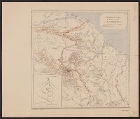
- Great Britain. War Office. General Staff. Geographical Section22
- Royal Geographical Society (Great Britain)10
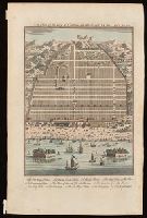
- Moll, Herman, -17328
- Speed, John, 1552?-16298
- D'Urfey, Thomas, 1653-17237
- Great Britain. Inter-service Topographical Dept7
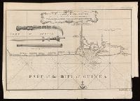
- Jefferys, Thomas, d. 17717
- L'Isle, Guillaume de, 1675-17267
- Great Britain. War Office. General Staff. Topographical Section5
- Kitchin, Thomas, d. 17845
- Ballads, English--England--Texts250
- Love poetry, English--England--Early works to 180018
- Man-woman relationships--Poetry--Early works to 180015
- Brit tracts--168310
- Marriage--Poetry--Early works to 180010
- Brit tracts--16907
- Sailors--Poetry--Early works to 18007
- Brit Tracts--16816
- Brit Tracts--16826
- Brit tracts--16856
- Royal Geographical Society (Great Britain)15
- Great Britain. War Office. General Staff. Geographical Section8
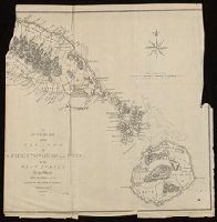
- Sayer, Robert, 1725-17947
- Senex, John, d. 1740. New general atlas6
- Auchincloss, Hugh Dudley--Ownership.5
- Harvey, Francis--Ownership.5
- J. & C. Walker (Firm), engraver5
- Bassett, Thomas, bookseller4
- Bingham, Hiram,--1831-1908.--Ownership4
- Bowles, John, 1701-17794
- [London] :✖[remove]648
- Washington, D.C. :10
- [Edinburgh] :1