
Search


Limit your search
- Public285
- cartographic285
- Maps, Atlases & Globes✖[remove]285
- United States. Army Map Service95
- Great Britain. War Office. General Staff. Geographical Section43
- National Geographic Society (U.S.). Cartographic Division19
- National Geographic Society (U.S.). Cartographic Section17
- United States. Army. Corps of Engineers9
- Great Britain. Inter-service Topographical Dept8
- Manila Fire Insurance Association8
- Ringgold, Cadwalader, 1802-18678
- U.S. Coast and Geodetic Survey7
- United States. Adjutant-General's Office. Military Information Division6
- Railroads--Soviet Union--Maps8
- Spanish-American War, 1898--Campaigns--Puerto Rico--Maps5
- Nautical charts--California--Sacramento River4
- Nautical charts--California--San Francisco Bay4
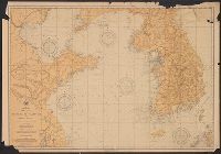
- Cities and towns--Korea (North)--Maps3
- Manila Bay, Battle of, Philippines, 1898--Maps3
- Military maps3
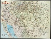
- Roads--United States--Maps3
- Aeronautical charts--Japan2
- Cities and towns--Korea (South)--Maps2
- Washington, D.C. :✖[remove]285
- [London] :10
- Baltimore, Md. :3
- Baltimore [Md.] :1