
Search


Limit your search
- Public✖[remove]321
- Beinecke Rare Book and Manuscript Library✖[remove]321
- Great Britain. War Office. General Staff. Geographical Section21
- Royal Geographical Society (Great Britain)10
- Moll, Herman, -17328
- Speed, John, 1552?-16298
- Great Britain. Inter-service Topographical Dept7
- Great Britain. War Office. General Staff. Topographical Section5
- Jefferys, Thomas, d. 17715
- Kitchin, Thomas, d. 17845
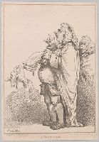
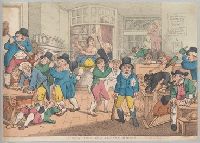
- Rowlandson, Thomas, 1756-1827, printmaker.4
- Danvers, Juland, cartographer3
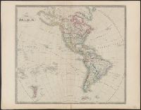
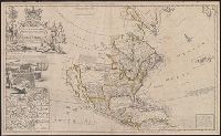
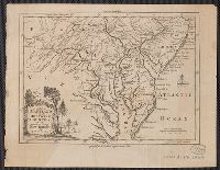
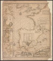
- British--America--Maps--Early works to 18004
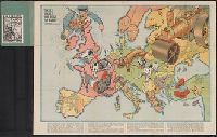
- Ethnology--Balkan Peninsula--Maps4
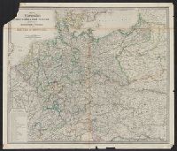
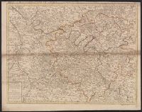
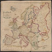
- Ethnology--Europe, Central--Maps4
- Population density--Europe, Central--Maps4
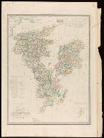
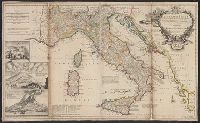
- Ethnology--Italy--Maps2
- Population density--2
- Population density--Balkan Peninsula--Maps2
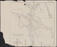
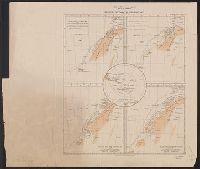
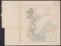
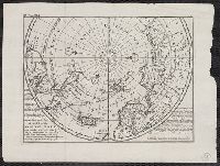
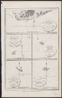
- Scientific expeditions--Antartica--South Victoria Land--Maps2
- Scientific expeditions--South Pole--Maps2
- World War, 1914-1918--Balkan Peninsula--Treaties--Maps2
- Royal Geographical Society (Great Britain)15
- Great Britain. War Office. General Staff. Geographical Section8
- Sayer, Robert, 1725-17947
- Senex, John, d. 1740. New general atlas6
- Auchincloss, Hugh Dudley--Ownership.5
- Harvey, Francis--Ownership.5
- J. & C. Walker (Firm), engraver5
- Bassett, Thomas, bookseller4
- Bingham, Hiram,--1831-1908.--Ownership4
- Bowles, John, 1701-17794
- [London] :✖[remove]321
- Washington, D.C. :10
- [Edinburgh] :1
Current results range from 1535 to 1945